Create an address layer
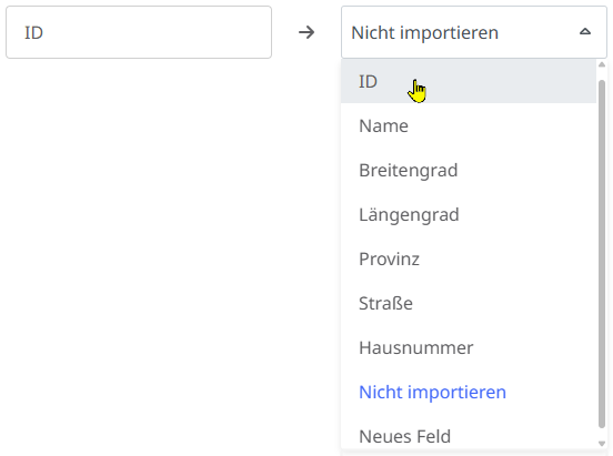
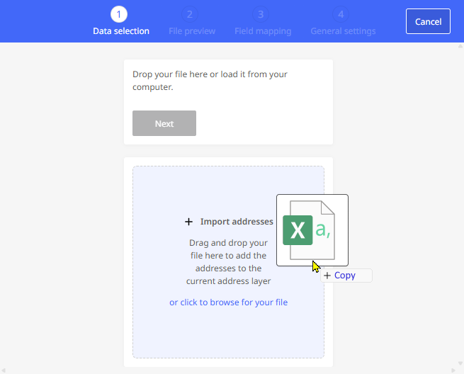
Create a new address layer by importing an address file in CSV format. This address file must be in a valid CSV format. During the import, the defined columns are assigned to the existing data fields in PTV Map&Guide. The addresses contained in the respective lines of the CSV file are then automatically geocoded and saved as far as possible.
Limitations : Please note that the following limitations apply to the amount of managed data for performance reasons:
-
Up to five address levels can be created and managed in data management. Even if you have multiple licenses in use and multiple users working with data management, this number does not increase.
-
Each CSV file that you upload may be a maximum of 10 MB in size.
Note: Please also refer to the information on supported coordinate formats under “Which coordinate formats can I import into the data management?”.
To create a new address layer based on an address file in CSV format, proceed as follows:
-
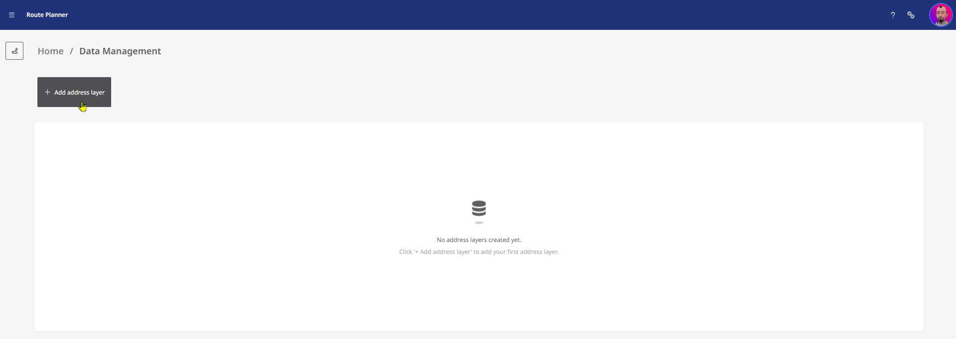
Open the data manager via the “Data management” entry either from the application menu or from the home area.
-
Click on the <+ Add address layer> button to start the import wizard.
|
|
|
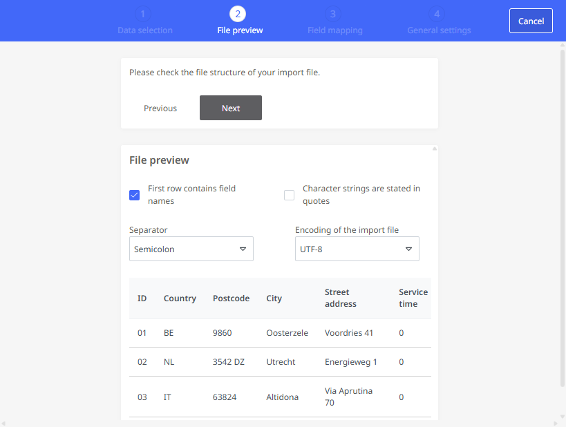
|
|
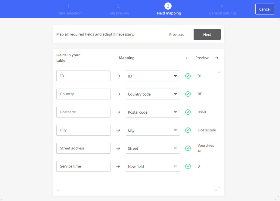
|
Click <Finalize layer> to create the address layer. |
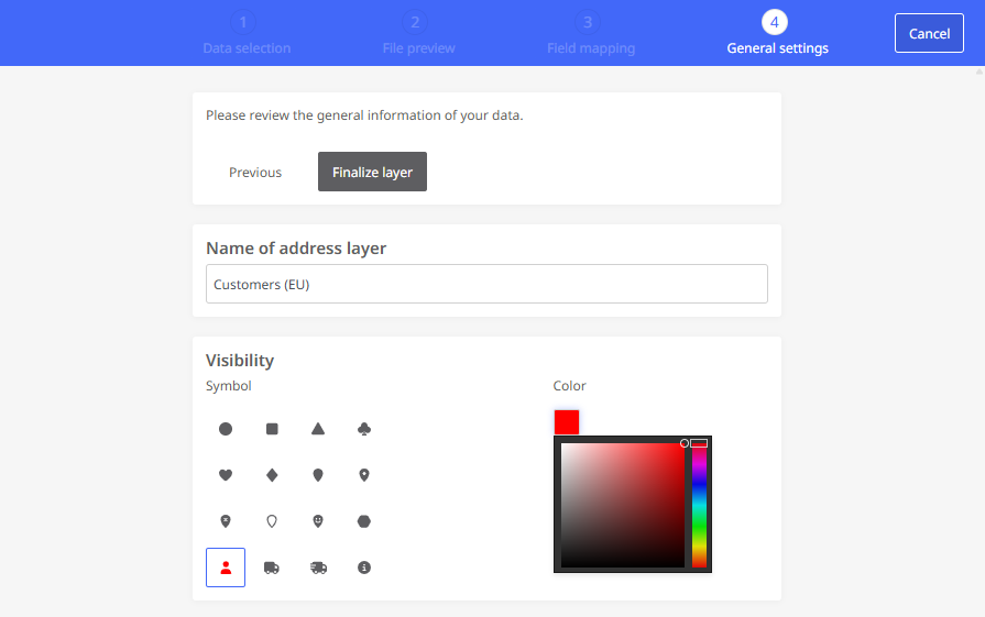
|
|
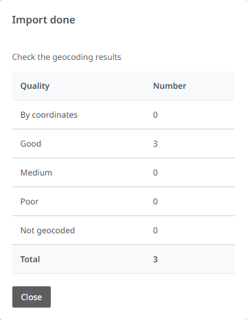
|
Your new data layer is now available both in the data manager (e.g. for post-processing) and in the map view.

|
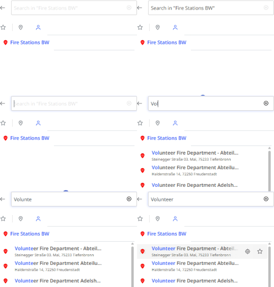
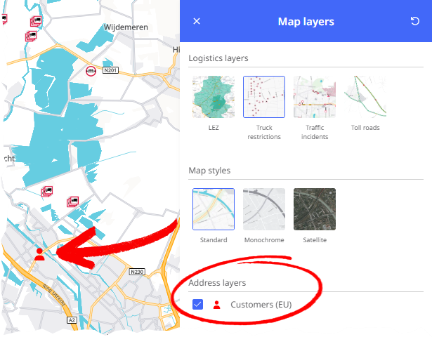
The address layer is now also available in the route planning in the "Map layers" window under "Address layers". When you activate this layer, the addresses in the layer are displayed on the map with the configured symbol. A tooltip displays further information about the icon. By clicking on the symbol for an address, you can add it as a stop to your route.If the name for an address is stored in the data record, this name is also displayed in the stop list.
|
|
